The world is changing rapidly. Technology, science, and modern advancements have transformed every aspect of life. In such a fast-paced environment, providing children with academic knowledge alone is not enough. It is equally important to nurture them with strong values, moral principles, and the right direction in life. After all, today’s children will become tomorrow’s citizens, leaders, scientists, teachers, and nation-builders. They will play a vital role in shaping the future of our society and country.
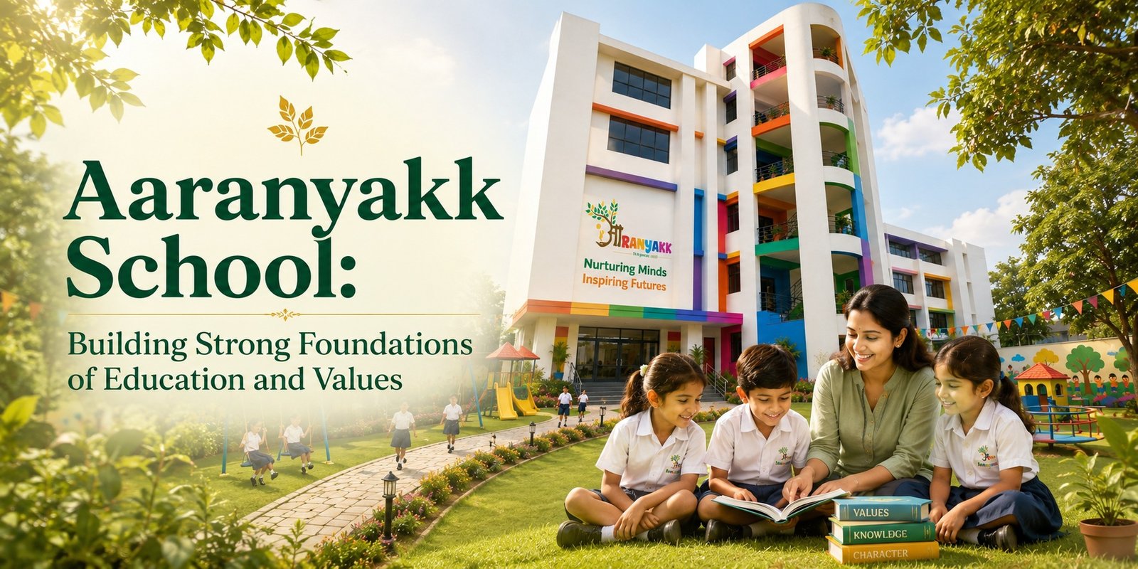
With this vision in mind, Aaranyakk School was established. It is not just a school but a center for holistic child development, where education, values, and personality development are given equal importance.
A Strong Foundation for Early Learning
Early childhood education plays a crucial role in a child’s life. This is the stage when young minds are most receptive to learning, understanding, and exploring the world around them. Recognizing the importance of these formative years, Aaranyakk School provides a thoughtfully designed learning environment for children in Play School, Pre-Nursery, Nursery, Class 1, and Class 2.
Our goal is not simply to teach children but to cultivate curiosity and a love for learning. Here, children learn through play, gain new experiences, and develop the confidence needed to grow and succeed.
Integrating Moral Values with Education
We believe that education becomes truly meaningful when it is combined with strong moral values. Knowledge helps a person become capable, but values help them become a good human being.
Today’s society needs individuals who are honest, responsible, compassionate, and disciplined. These qualities must be nurtured from an early age. At Aaranyakk School, children are taught much more than letters and numbers. They learn the importance of truthfulness, respect for others, discipline, cooperation, kindness, and care for nature.
We firmly believe that moral values form the strongest foundation of a person’s character and personality.
A Blend of Traditional Values and Modern Education
At Aaranyakk School, we combine traditional values with modern educational practices. We provide an environment where children are encouraged to think creatively, ask questions, explore ideas, and discover their unique abilities.
Our teaching approach includes activity-based learning, group participation, storytelling, art, music, games, and various creative exercises. These methods support balanced intellectual, physical, emotional, and social development.
Children are not confined to textbooks alone. They are also introduced to practical life lessons that help them understand the world around them and prepare them for future challenges.
Experienced and Dedicated Teachers
The greatest strength of any school is its teachers. Aaranyakk School takes pride in having a team of experienced, trained, and dedicated educators.
Our teachers do much more than deliver lessons. They serve as mentors, guides, and role models for young learners. They teach values that they themselves practice in their daily lives.
We believe that children learn more from what they see than from what they hear. Therefore, our teachers lead by example through their behavior, discipline, integrity, and commitment.
A Safe and Positive Learning Environment
Every parent wants their child to learn in an environment where they feel safe, happy, and encouraged.
At Aaranyakk School, we provide a secure, clean, and nurturing atmosphere where every child receives individual attention. We understand that each child is unique, with different strengths, interests, and learning needs.
Rather than focusing solely on competition, we encourage children to enjoy learning, explore their potential, and build confidence. Our aim is to help them become resilient individuals who can face life’s challenges with courage and wisdom.
A Strong Partnership with Parents
We believe that a child’s education is not the responsibility of the school alone. Parents play an equally important role in a child’s development.
That is why Aaranyakk School values regular communication and collaboration between teachers and parents. We continuously discuss children’s progress, interests, achievements, and developmental needs with their families.
When schools and parents work together, children benefit from a stronger support system and achieve better outcomes.
Preparing Responsible Citizens for the Future
Our mission goes beyond creating good students. We strive to nurture responsible citizens who can contribute positively to society and the nation.
We want our students to grow into knowledgeable, humble, compassionate, independent, and morally strong individuals. These qualities are the true foundations of lifelong success and meaningful contributions to the world.
Welcome to Aaranyakk School
If you are looking for a school that combines modern education with strong moral values, Aaranyakk School warmly welcomes you.
We invite you to visit our campus, meet our teachers, explore our learning environment, and experience firsthand how we are laying the foundation for a bright future through quality education and strong values.
At Aaranyakk School, we do not simply educate children—we help build the foundation for their future. We believe that when quality education is combined with strong values, it creates better individuals, a better society, and ultimately, a better nation. Best Nursery School in Omicron 3 Greater Noida